Multispectral UAV Mapping
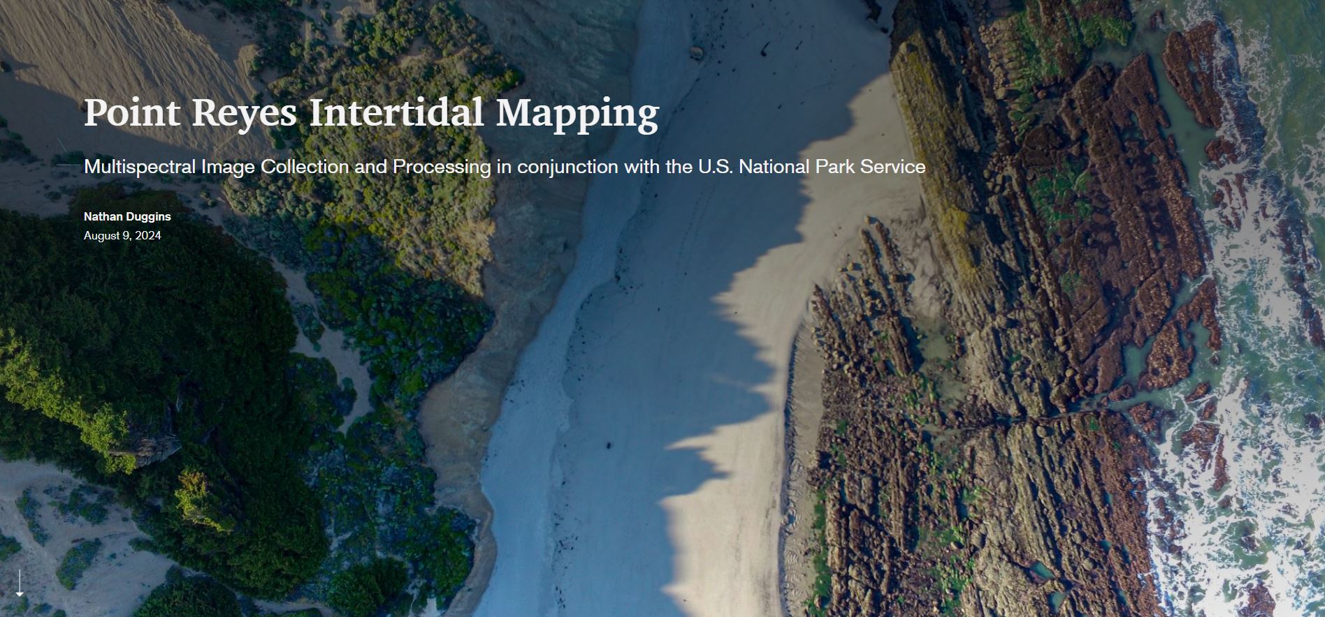
I collaborated with the National Park Service to map intertidal habitats along the Point Reyes coastline using multispectral UAV technology. This approach distinguished vegetation types and substrate compositions that appear nearly identical in standard photography, providing precise species classification and habitat mapping to support long-term ecological monitoring and conservation management.
- Conducted multispectral UAV surveys across four beach sites during the year’s lowest tides, capturing imagery for ecological analysis.
- Managed full UAV workflow: preflight planning around tidal windows, field operations, and post-processing.
- Used a Trimble R10 GNSS to establish centimeter-accurate ground control networks for geospatial precision.
- Processed thousands of images in Pix4D to produce radiometrically calibrated orthomosaics and digital surface models (DSMs).
- Performed vegetation index calculations (NDVI, NDRE, EVI) and supervised machine learning classifications in ArcGIS Pro to distinguish mussel beds, algae mats, and substrate types.
- Delivered 6 cm orthophotos, calibrated reflectance layers, DSMs, and habitat classification products.
- Results now serve as baseline monitoring datasets for tracking intertidal species distribution and ecosystem change due to sea-level rise and ocean warming.
Check out the storymap for more details, pretty pictures, and cool maps.
(Click to view story map)
×